|
Hurricane Bonnie (August 26-27, 1998) was the Hurricane Intercept Research Team's first real, planned for hurricane intercept. For the first time we had the video equipment, remote weather sensing equipment and communications equipement necessary to perform the tasks of collecting weather observations and video/photo documenting the hurricane event. The forementioned items also kept us safe by keeping the Team one step ahead of the hurricane.
Another key to the success of documenting hurricane Bonnie was the cooperation/communication between emergency management officials and the Team. It was crucial for us to work with the very officials who were working extremely hard to deal with the hurricane. We did not want to get in the way nor put any emergency personell at risk by requring their assistance at any point during the hurricane event.
|
Here we go. The following 'snaps' were taken
from my 8mm Sony Camcorder using a Snappy. Anyway.... the following snaps are in chronological order and begin on Tuesday August 25. Enjoy!
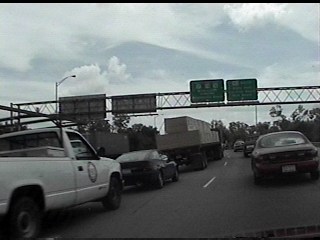
This shot was taken Tuesday afternoon Aug. 25.
The truck was taking ALOT of plywood into Wilmington as people prepared.
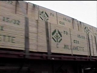
Here is another shot of the same plywood truck heading into the Wilmington area.
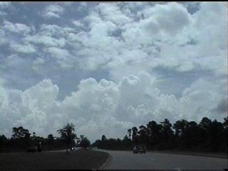
This shot shows the very first line of clouds and showers that moved into New Hanover county.
This is about 1:30 Tuesday afternoon.
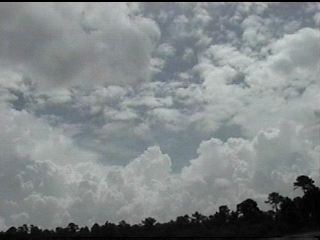
Another shot of the first band of rain clouds that moved in Tuesday afternoon.
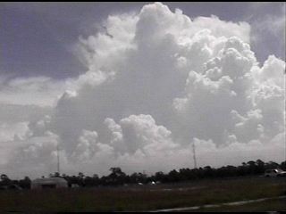
Here is a great shot of a thunderstorm within the line of clouds.
The rain cometh! This was the first of almost a foot of rain that fell in my chase area!
The activity of the day....boarding up!

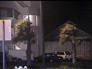
And out at Wrightsville Beach as well.
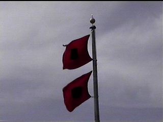
These hurricane warning flags were shot at Town Hall, Wrightsville Beach.
They sort of bring about a certain anxiety when they are flown.
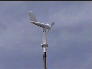
This wind meter is nearTown Hall at Wrightsville Beach. The wind was
blowing at about 15 to 20 mph at this point, late Tuesday afternoon.
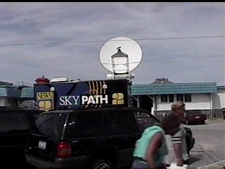
Here at Jonnie Mercer's Pier, the media frenzy was on! These satellite trucks are becoming all too familiar around here!
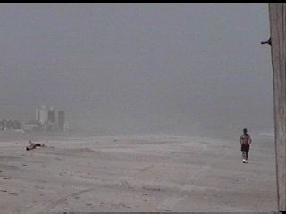
This is a shot of Wrightsville Beach looking North. Notice how EMPTY the beach is.
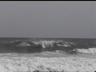
The swells generated by Bonnie were rolling ashore and breaking quite dramatically. It would only get worse!
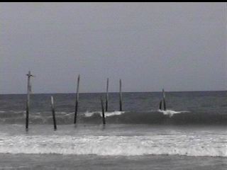
The waves rolled on and on.
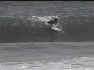
The obvious benefit of all of this are the great waves for surfing.
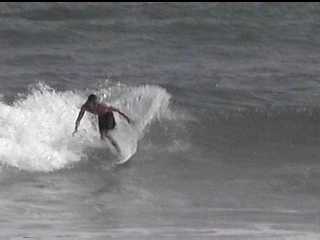
Not bad.
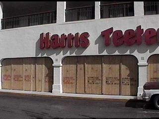
The local Harris Teeter was Hurricane Prepared!
We stopped for a moment at the barricade set up at the bridge crossing into Wrightsville Beach.
We needed to check in with the officers to get clearance to enter the now desserted island.
This shot is looking westward at the Waterway Lodge. The wind was beginning to pick up.
Now it is Tuesday night at about 10:25 pm.
My chase team is back on Wrightsville Beach after a lite supper. The town is 99% evacuated at this point.
This shot is looking west across the Intracoastal Waterway towards the mainland.
We were looking for exploding transformers on the horizon.
The wind was now up to 35 to 40mph with higher gusts. No rain to speak of yet.
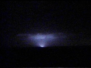
We got one! This is an ok shot of an exploding transformer on the mainland.
The power stayed on throughout most of the area for quite a while into Wednesday.
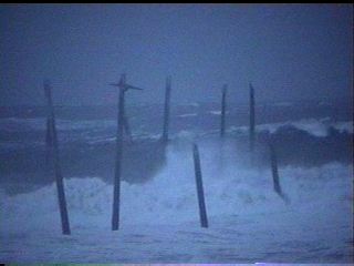
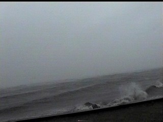
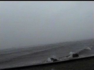
Now it is Wednesday morning just near sunrise. These ominous slate-grey waves were large and loud!
We could not believe what we saw. The Sea was about as angry as it can get.
Well, this early in the hurricane event anyway. It of course gets much worse.
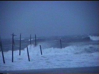
We left the beach shortly after these shots were taken to avoid the potential 9 to 12 foot surge.
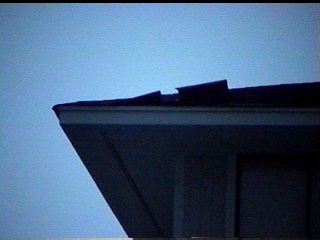
These shingles blowing on Wrightsville Beach, just after sunrise,
were the first real signs of "damage" that we saw.
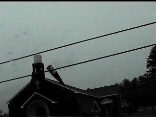
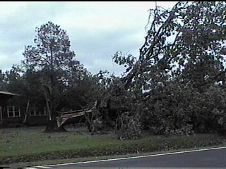
This shot is of the Woodburn Baptist Church near Leland.
Amazingly, the steeple toppled and actually stuck into the roof of the church.
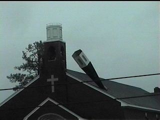
Here is another shot of this amazing damage.
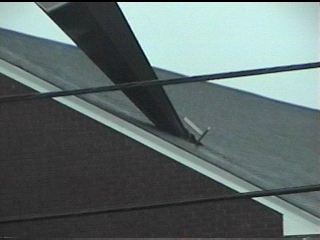
And a close-up of the damage.
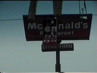
The plastic sgins like this one are easily damaged or destroyed by high winds.
This is in Leland.
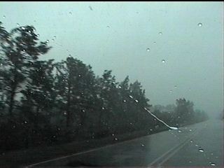
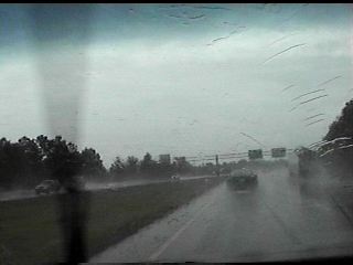
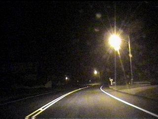
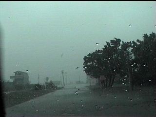
We left the Leland area and ventured southward down Highway 133 to Southport.
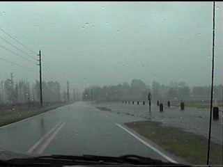
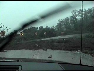
This shot is of the highway with the wind and rain really picking up.
We are now very near Southport.
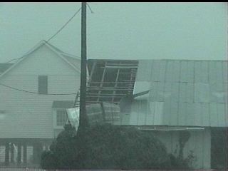
This shot shows how easily the wind can bend moderately strong sheet-metal.
Now we are in Southport. We are easily within the eyewall at this point with
winds sustained at 50 to 60mph with gusts to 85mph. This is the Cape Fear River looking east towards the barrier islands.
Another shot of the rough Cape Fear River.
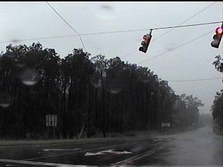
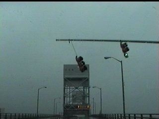
These traffic lites were really blowing hard. The wind in this shot was easily gusting to 70mph.
We have made our way back northward from Southport.
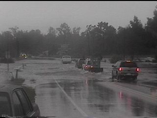
We are now headed across Highway 74/76 towards Wilmington. This shot is of the Brunswick River.
This shot was taken as we crossed the Cape Fear Memorial Bridge into Wilmington.
Here we are at the USS North Carolina. A little rain-induced flooding, but that was about all.
The Battleship is out of the frame to the right. We are looking west.
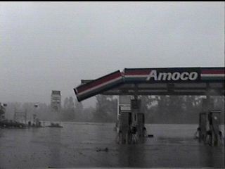
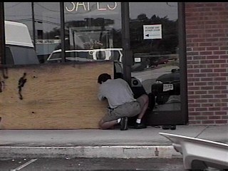
Back in Leland, we saw this gas station with some minor damage.
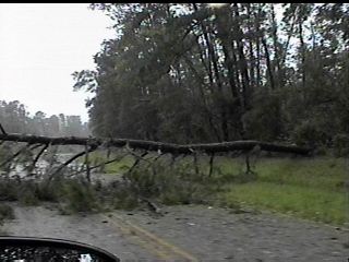
Now we were beginning to encounter some tree damage.
It was not as bad as we expected.
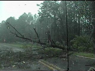
Even more trees down along our route back to Southport to meet the eye.
We made it back to Southport to witness the end part of the eyewall.
This shot shows some of the minor flooding that took place there.
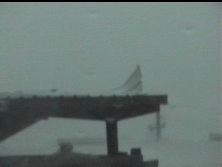
This shot shows what may be a fish warehouse.
It had sustained some moderate damage at this point.
We left Southport and headed out to Porters Neck in northeast New Hanover county.
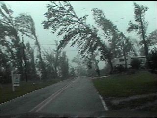
These trees were really taking it! The winds were at least 70mph here.
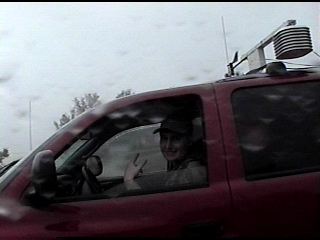
We ran into an another chaser. We talked for a brief moment and went about our business.
What little surge there was at this point, we managed to capture here.
Not nearly as bad as the surge from FRAN in 1996.
We left the northeast part of New Hanover county and went over to Airlie Road.
It was heavily flooded by FRAN's surge. Not the case here with Bonnie.
It is late afternoon, almost evening of Wednesday.
We did catch the high tide line as evidenced by this pile of reeds etc. on Airlie Road.
It is now Thursday, August 27. Bonnie rattled us through the night Wednesday.
We did not shoot any night shots of significance due to the danger of flying debris.
Bonnie had a mean back-side, so we decided to stay put.
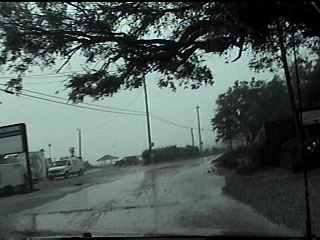
This shot is along Lanvale Road in rural Brunswick county.
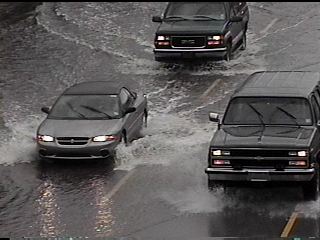
This shot is along Highway 53 looking west towards Burgaw in Pender county.
The rain flooded areas hit hard by the hurricanes of 1996.
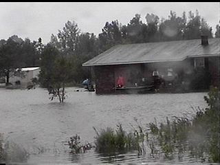
The best means of transportation was by a small boat.
Interstate 40 was also flooded at the same general area of the Hwy 53 flooding.
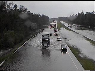
Another shot of the I-40 flooding.
The awesome sight of Bucket Trucks descending upon our battered region.
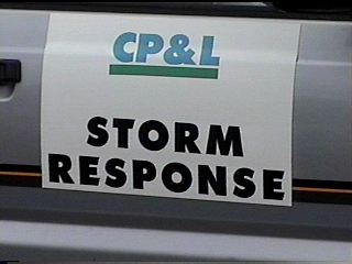
Help was quick to arrive to get power restored.
We all owe a tremendous debt of gratitude to the thouasands of workers who gave us our convenient way of life back.
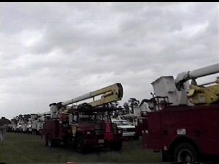
There were countless trucks from all over the region here to lend a hand. Thanks!!!
All photos are Copyright 1998 by Mark Sudduth. All rights reserved.
|

|
